
As with many great capitals around the world, Moscow features a large river which cuts through the city and which provides the perfect backdrop for this incredible capital. For many years this river was the mode of transportation and the source of life for the city, in recent years it has become the spot for viewing the city and for enjoying the scenery of this great destination.
It rises about 90 miles west of Moscow, and flows roughly east through the Smolensk and Moscow Oblasts, passing through central Moscow. Let’s take a deeper look into this majestic river.
Etymology
The name Moskva actually means Moscow and whilst the name of the city changed in the eyes of the world, the name of the river remained the same. What many don’t know is that the city is actually named after the river, and the origin of Moskva is unknown although there are many theories.
Bridges
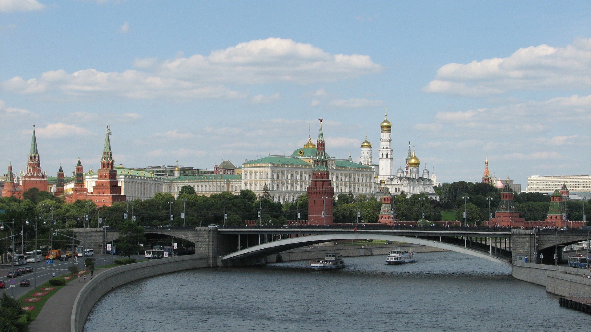
As of 2007, there are an incredible 49 bridges which stretch across the Moskva River and its canals within Moscow city limits; the first stone bridge, Bolshoi Kamennyi Bridge, was actually erected in 1692. Within the city, the river is 120–200 metres wide, and the narrowest point of the river is right underneath the Kremlin walls.
Drinking Water
Much of the city actually drink water from the river. There are five stations on the river, in the Upper Volga reservoirs, where water is collected and then piped to the city as potable water.
Islands
There are a number of islands which can be found on the wider parts of the river. These are some of the most notable which have been separated from the mainland or which were formed from canals.
Serebryany Bor
Balchug Island
Tatarskaya Poima
Entertainment
Entertainment on the river includes cruises and some sporting events. During the winter there are many parts of the river which freeze entirely and this brings a great number of thrill seekers to the water, who attempt to walk all the way across over the ice. As risky as this sounds, the ice is usually at least a meter deep, removing much of the risk.